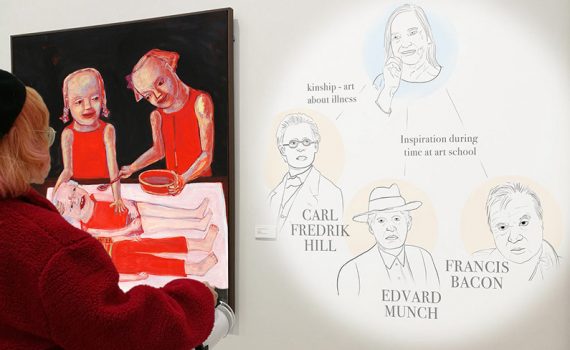
Using a handheld projector to provide information complementary to artworks and the guide the visitor through the collections.
locative serendipity
A light that is similar to a flashlight, with which a person is able to bring projection mapping with them anywhere.
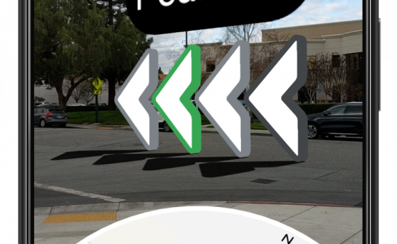
Make walking directions easier. The user points their phone’s cameras at their surroundings and machine learning will identify the landmarks based on Street View imagery to pinpoint their location. It can then more accurately identify position and orientation, giving directions over the real world.
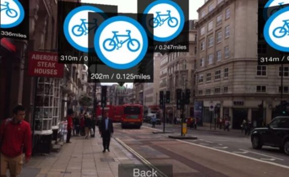
A mobile app projects 3d signs of particular locations of interest - restaurants, bike rental spots, subway entrances, etc. onto the user's screen. The app also measures how far the user is from the particular sight. By downloading packs for different types of locations, the user can expand the amount of information the app relays to them.
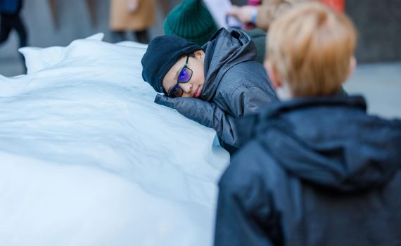
Twelve large blocks of ice cast off from the Greenland ice sheet are harvested from a fjord outside Nuuk and presented in a clock formation in a prominent public place. The work raises awareness of climate change by providing a direct and tangible experience of the reality of melting arctic ice. Ice Watch has been installed in two locations so far.
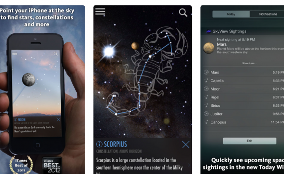
"SkyView brings stargazing to everyone. Simply point your iPhone, iPad, or iPod at the sky to identify stars, constellations, planets, satellites, and more!"
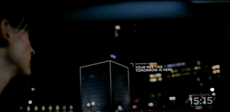
Context A traveler in a taxi, or on any other public commuting ride to get familiar with a new place. Design concept While you are taking a taxi towards your destination and you are casually looking through the window, relevant information will be displayed. Experiential qualities and related concepts Hybrid, […]
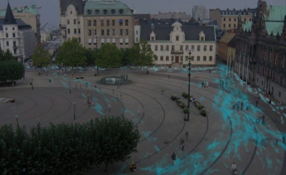
Overlaying a suitably abstracted rendering of people's traces gives a sense of where the action is. Data from your friends yields a socially grounded heat map, whereas a broad data collection provides more of a general overview.
